Five qualitative tools for mapping low density environments
Borrowing from a rich tradition of understanding the urban environment through observation from Kevin Lynch and Jane Jacobs, to the well developed public life study methods of Jan Gehl and Brigitte Svarre, and more recently the urban diary methods of Charles Wolfe, this suite of tools is uniquely adapted to observing suburban environments. It is an easy to use guide for leading a workshop that will give participants a new perspective on their everyday suburban environment and help them to articulate challenges and identify opportunities towards a neighbourhood that supports an active and healthy lifestyle.
Canada is increasingly an urban nation. As the share of Canadians living in urban centres continues to grow, the growth of the suburbs is still higher (Statistics Canada, 2017). In addition, many areas that fall within ‘urban’ areas from a statistical point of view may actually look more like a suburb: largely car dependent, low density, and divided into separated land use areas.
- Tools can be added or removed from this workshop depending on the needs of the community. This workshop can be tailored for municipalities, resident’s associations and/or community groups who are in the beginning stages of planning changes to a neighbourhood
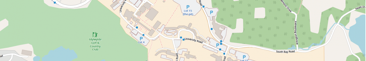
- Insert local maps into the tool templates using Openstreetmap and/or Google maps. To learn about creating basemaps, use our ‘How to Create a Basemap’ guide
- After the walk-about with the tools, ensure you have some time to transfer photos and prepare a slide deck for a debrief discussion